

The majestic landscapes of America’s national parks draw millions of visitors each year, who flock to iconic viewpoints and popular trails. Yet beyond these well-trodden paths lies a network of hidden trails that offer solitude, unique perspectives, and intimate encounters with nature. These lesser-known routes provide opportunities to experience the true wilderness character of our most beloved parks, away from the crowds that gather at famous landmarks. From secluded canyon paths to forest trails leading to secret waterfalls, these hidden gems reward adventurous hikers with memories that few other visitors will share.
Let’s explore some of the most remarkable hidden trails across America’s national park system that even seasoned park visitors might have overlooked.
Telephone Canyon Trail: Grand Canyon National Park
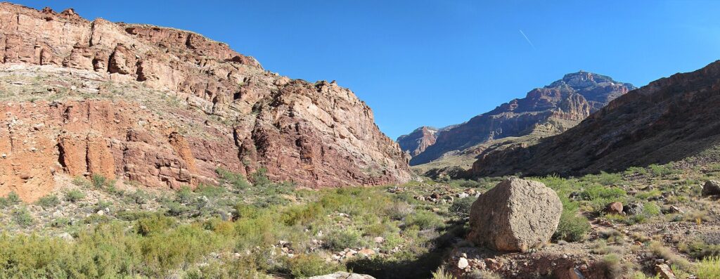
While millions marvel at the Grand Canyon from popular South Rim viewpoints, few venture into the remote Telephone Canyon. This hidden trail branches off from the more popular North Kaibab Trail, offering a secluded alternative route through the canyon’s depths. The path winds through a narrow side canyon where towering walls create intimate acoustics—hence its name.
Hikers are rewarded with unique geological formations, surprising pockets of vegetation, and the soothing sounds of seasonal streams. Unlike the busy corridor trails, you might hike for hours without encountering another soul, creating a profoundly different Grand Canyon experience than what most visitors ever know.
Hetch Hetchy Wapama Falls Trail: Yosemite National Park
While Yosemite Valley draws massive crowds, the park’s Hetch Hetchy region remains relatively quiet despite its spectacular beauty. This moderate 5-mile round-trip trail follows the shoreline of the Hetch Hetchy Reservoir to the impressive Wapama Falls, which tumbles 1,400 feet in multiple cascades. John Muir once described Hetch Hetchy Valley as a “wonderfully exact counterpart” to Yosemite Valley before it was dammed.
Spring hikers are treated to wildflower displays and roaring waterfalls, while summer visitors enjoy refreshing mist from the falls and spectacular lake views. The trail offers many of Yosemite’s signature granite features without the crowds that pack the valley floor trails.
Schoodic Peninsula Trails: Acadia National Park
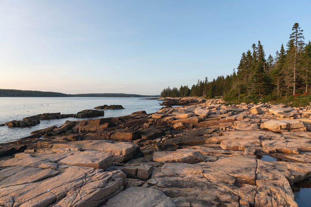
While Mount Desert Island attracts most of Acadia’s visitors, the separate Schoodic Peninsula section of the park offers equally spectacular coastal scenery with a fraction of the visitors. The network of trails here includes the Anvil Trail and Schoodic Head Trail, which climb through fragrant spruce forests to panoramic views of Mount Desert Island across the water.
The Alder Trail connects to stunning shoreline paths where waves crash dramatically against pink granite shorelines. Wildlife sightings are common here, with opportunities to spot bald eagles, harbor seals, and numerous seabird species in relative solitude. The peninsula’s trails provide a more authentic Maine wilderness experience than the often busy paths around Bar Harbor.
Kolob Arch Trail: Zion National Park
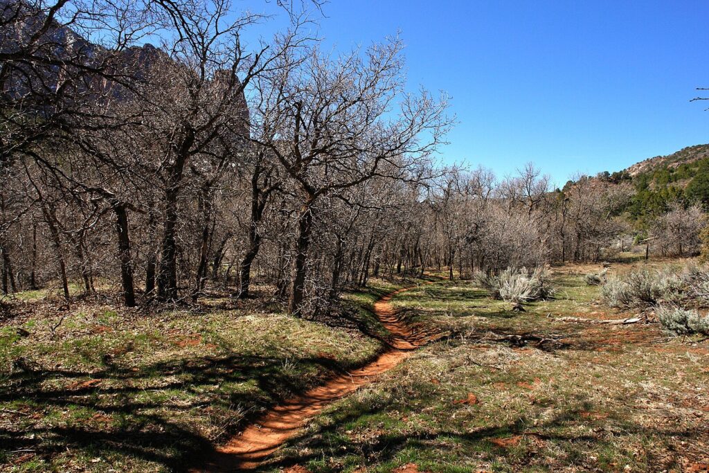
Hidden in the northwestern corner of Zion, the Kolob Canyons section receives just a small fraction of the visitors who pack the main canyon. The challenging 14-mile round-trip Kolob Arch Trail leads to one of the largest natural arches in the world, spanning approximately 287 feet. The route follows the scenic LaVerkin Creek through a colorful canyon of red Navajo sandstone, passing numerous swimming holes and side canyons worth exploring.
Backpackers can obtain permits to camp along LaVerkin Creek, allowing for a more leisurely exploration of this remote area. The dramatic red cliffs and formations here rival those in Zion Canyon but can be enjoyed in peaceful solitude even during peak season.
Hoh River Trail to Five Mile Island: Olympic National Park
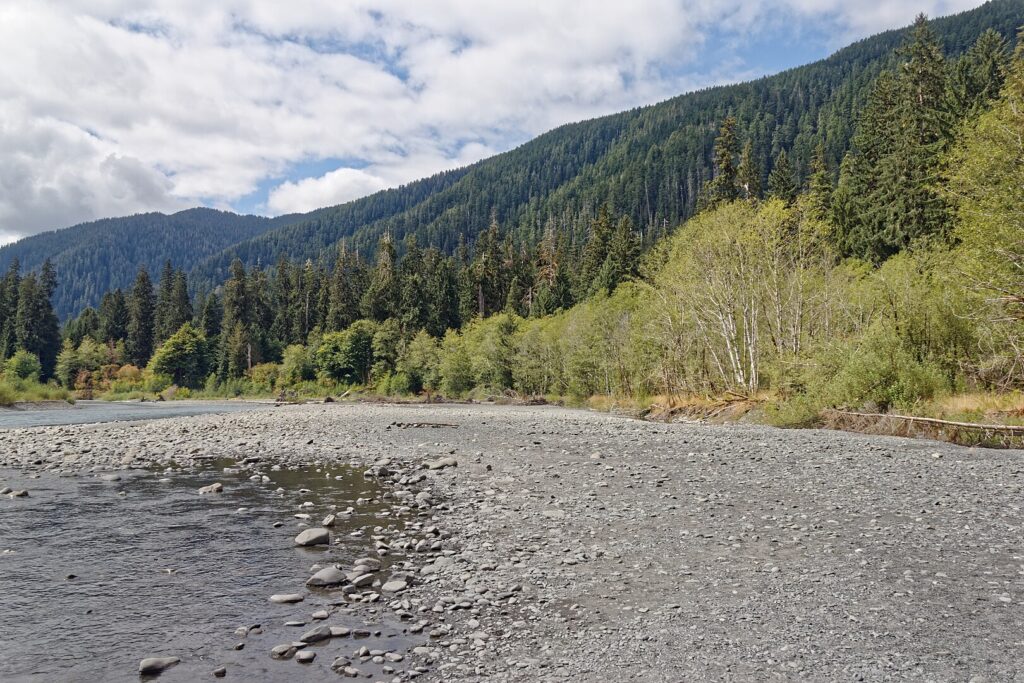
While many visitors explore the first mile of the Hoh Rainforest’s Hall of Mosses, continuing on the Hoh River Trail to Five Mile Island rewards hikers with increasingly primeval rainforest scenery. This moderate 10-mile round-trip journey passes through what many consider the finest temperate rainforest in America, with moss-draped maples, towering Sitka spruce, and ancient Douglas firs creating a fantasy-like atmosphere. The forest opens occasionally to reveal views of the glacier-fed Hoh River with its distinctive milky blue waters.
Roosevelt elk frequently graze in meadows along the way, particularly in early morning and evening hours. The trail continues for 17.3 miles to Glacier Meadows, but Five Mile Island offers a perfect turnaround point for day hikers seeking solitude.
Telescope Peak Trail: Death Valley National Park

Death Valley conjures images of scorching salt flats and barren landscapes, but the park’s hidden Telescope Peak Trail offers a completely different experience. Starting at 8,200 feet in the Panamint Mountains, this challenging 14-mile round-trip hike climbs to the park’s highest point at 11,049 feet. Hikers pass through ancient bristlecone pine forests and alpine meadows that seem impossible in a park known for extreme desert conditions.
From the summit, the panoramic views are simply staggering—to the east lies Badwater Basin (the lowest point in North America at 282 feet below sea level), while to the west stands Mt. Whitney (the highest point in the contiguous United States). This remarkable 11,331-foot vertical span can be taken in with a single sweeping glance.
Sliding Sands to Halemau’u Trail: Haleakalā National Park
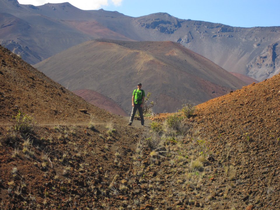
Most Haleakalā visitors come for sunrise at the summit or short walks around the crater rim, but few experience the otherworldly landscapes along the Sliding Sands to Halemau’u traverse. This challenging 11.2-mile one-way route (requiring a car shuttle) descends 2,800 feet into the massive crater, winding through a landscape often compared to Mars. Colorful cinder cones in shades of red, orange, and black punctuate the crater floor, while rare silversword plants—found nowhere else on Earth—add to the alien feel.
The trail passes through several climate zones, with dramatic temperature changes and varying ecosystems. Though demanding, this hike offers a profound wilderness experience in what many consider Hawaii’s most spiritual landscape.
Bull of the Woods Trail: Rocky Mountain National Park

While Trail Ridge Road and Bear Lake draw millions of visitors to Rocky Mountain National Park, the Wild Basin area and Bull of the Woods Trail remain pleasantly uncrowded. This challenging trail climbs through pristine subalpine forests before breaking into wide-open tundra with expansive views of Longs Peak and the Continental Divide. Hikers often spot elk, mule deer, and occasionally bighorn sheep along the higher reaches.
The trail accesses Thunder Lake and several remote alpine lakes that offer excellent backcountry camping opportunities with proper permits. Unlike the eastern side of the park, these western trails provide similar Rocky Mountain grandeur without the tour buses and crowded parking lots.
Lost Mine Trail: Big Bend National Park
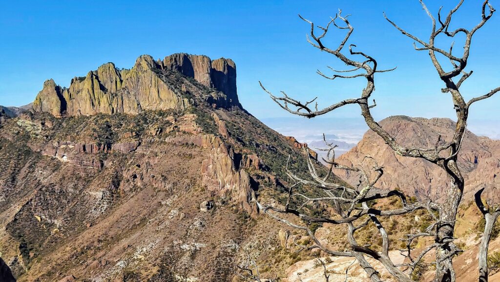
Big Bend’s remote location keeps visitor numbers lower than many national parks, but even within this isolated wilderness, the Lost Mine Trail remains overlooked compared to the popular Window and Santa Elena Canyon trails. This moderate 4.8-mile round-trip hike climbs steadily through pinyon pine and juniper woodland to a ridge offering spectacular views of Juniper Canyon and Mexico beyond. The trail’s name comes from a legendary lost gold mine that Spanish settlers supposedly operated in the area.
While the gold mine may be mythical, the views from the summit ridge are genuine treasure, particularly at sunrise when the first light illuminates the Chisos Mountains in golden hues. Wildlife encounters with javelinas, black bears, and numerous bird species are common on this quiet morning hike.
Widforss Trail: Grand Canyon North Rim
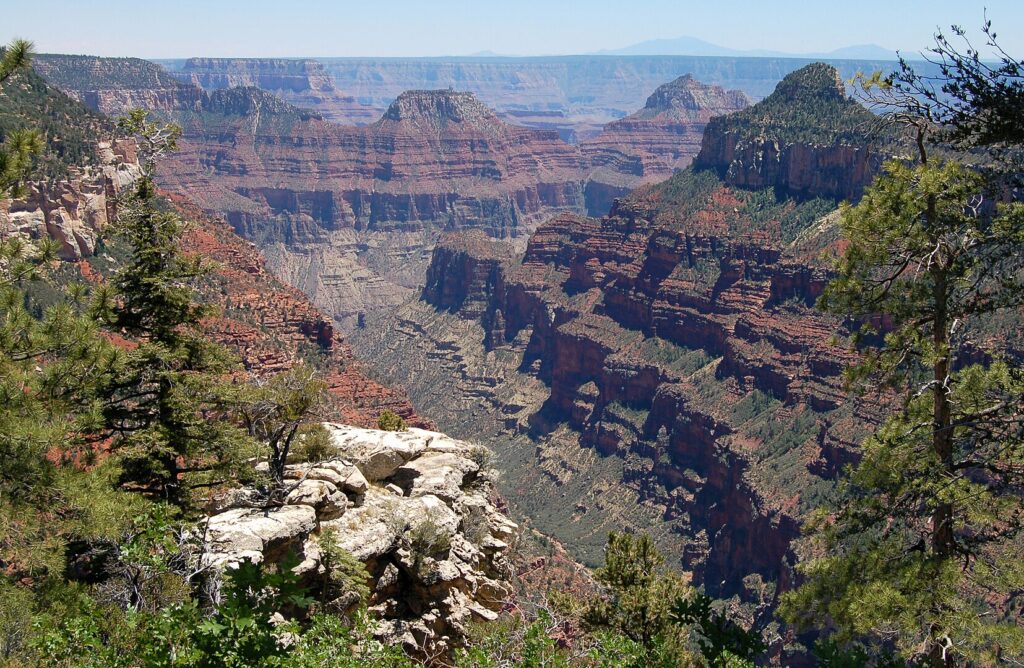
While the South Rim gets 90% of Grand Canyon visitors, the North Rim offers a more remote experience, and the Widforss Trail is arguably its most scenic yet underutilized path. This 10-mile round-trip route follows the canyon rim through cool ponderosa pine forests interspersed with aspen groves that turn brilliant gold in autumn. Unlike most Grand Canyon trails, Widforss doesn’t descend into the canyon but instead offers a series of spectacular viewpoints from different angles.
The relatively flat terrain makes this an accessible option for hikers seeking dramatic canyon views without the knee-punishing descent and climb. Named after early 20th-century artist Gunnar Widforss, who painted many Grand Canyon scenes, the trail captures many of the vistas that inspired his work.
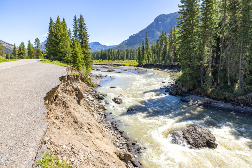
Yellowstone’s Bechler River Trail: Yellowstone National Park
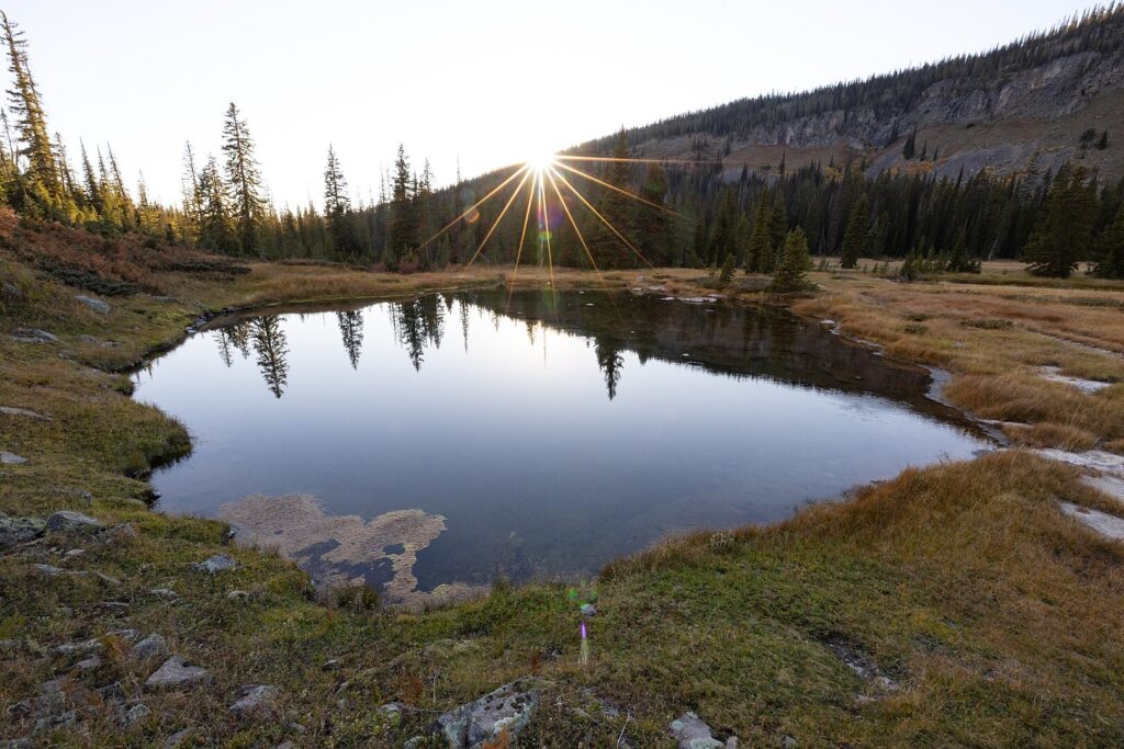
The remote southwestern corner of Yellowstone, known as “Cascade Corner,” contains the park’s highest concentration of waterfalls yet sees only a tiny fraction of its visitors. The Bechler River Trail showcases this hidden region, passing numerous magnificent waterfalls including the 45-foot Colonnade Falls and impressive 150-foot Dunanda Falls. The trail also passes through expansive meadows filled with wildflowers and thermal areas where warm springs create year-round green zones.
Late summer is the ideal time to explore this trail when river levels drop enough to make crossings manageable. Backpackers who obtain permits can camp near the Bechler Hot Springs, where natural thermal waters create perfect soaking pools beside the river—a wilderness spa experience that few Yellowstone visitors ever discover.
Trout Lake and Shoshone Lake Loop: Yellowstone National Park
While Old Faithful draws massive crowds, Yellowstone’s largest backcountry lake remains virtually deserted despite its remarkable features. The 17-mile loop around Shoshone Lake begins at the Delacy Creek Trailhead and passes the Shoshone Geyser Basin, one of the most active thermal areas in the park that few tourists ever see. Unlike the boardwalks and crowds at the developed geyser basins, here visitors can safely observe bubbling pools and erupting geysers in complete solitude.
The trail passes through lodgepole pine forests recovering from the 1988 fires, offering a fascinating glimpse of forest succession. Paddlers with proper permits can also access the lake via Lewis Lake, camping at designated sites along shores that often feature visiting moose, elk, and occasionally wolves.
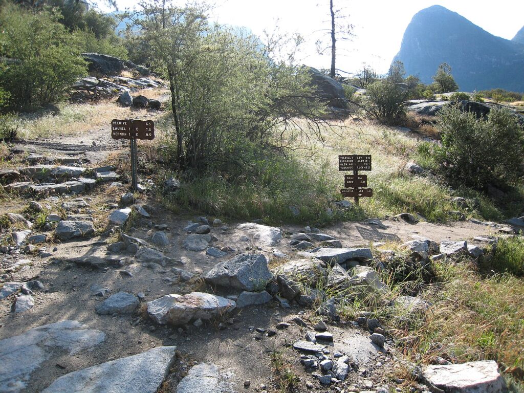
Tips for Exploring Hidden National Park Trails

Venturing onto less-traveled paths requires additional preparation beyond what might be needed for popular routes. Always inform someone of your hiking plans and expected return time, as cell service is typically non-existent on remote trails. Carry detailed topographic maps and a compass, as trail markings may be less maintained than on popular routes. Pack extra water, food, and emergency supplies, including first aid materials and weather protection.
Research seasonal conditions before setting out—some hidden trails are impassable during certain seasons due to snow, high water, or extreme heat. Consider hiring a local guide for your first exploration of particularly remote areas, as they can provide valuable insights about trail conditions, wildlife activity, and points of interest that guidebooks might miss.
Conclusion

In our national parks, the difference between an ordinary visit and an extraordinary adventure often comes down to venturing just a few miles beyond the popular viewpoints. These hidden trails offer not just solitude but often superior wildlife viewing opportunities, more intimate natural encounters, and perspectives on familiar landscapes that few visitors ever experience. While iconic landmarks deserve their fame, these lesser-known paths reveal the true heart of America’s most precious natural treasures.
The next time you visit a national park, consider allocating at least one day to exploring its hidden side. The memories you create there, away from the crowds, will likely become the most cherished souvenirs of your journey.