

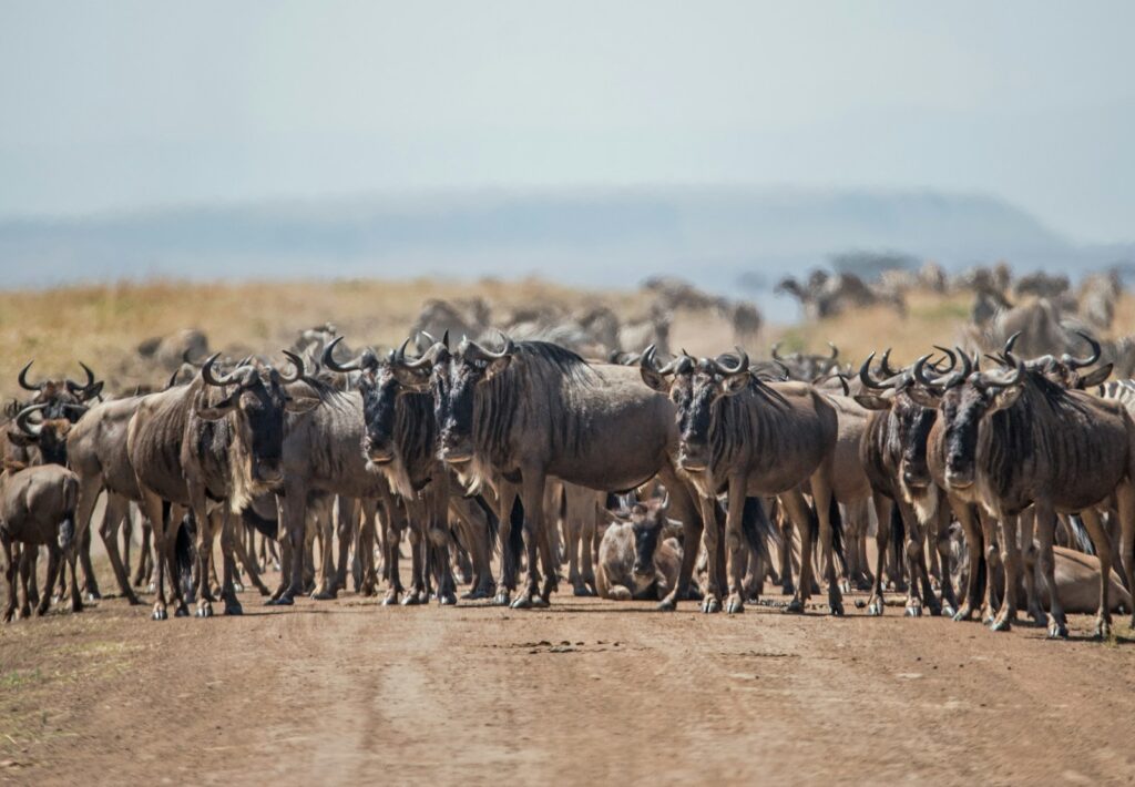
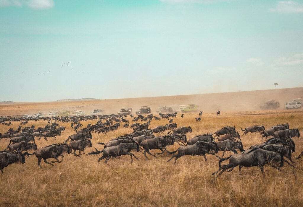
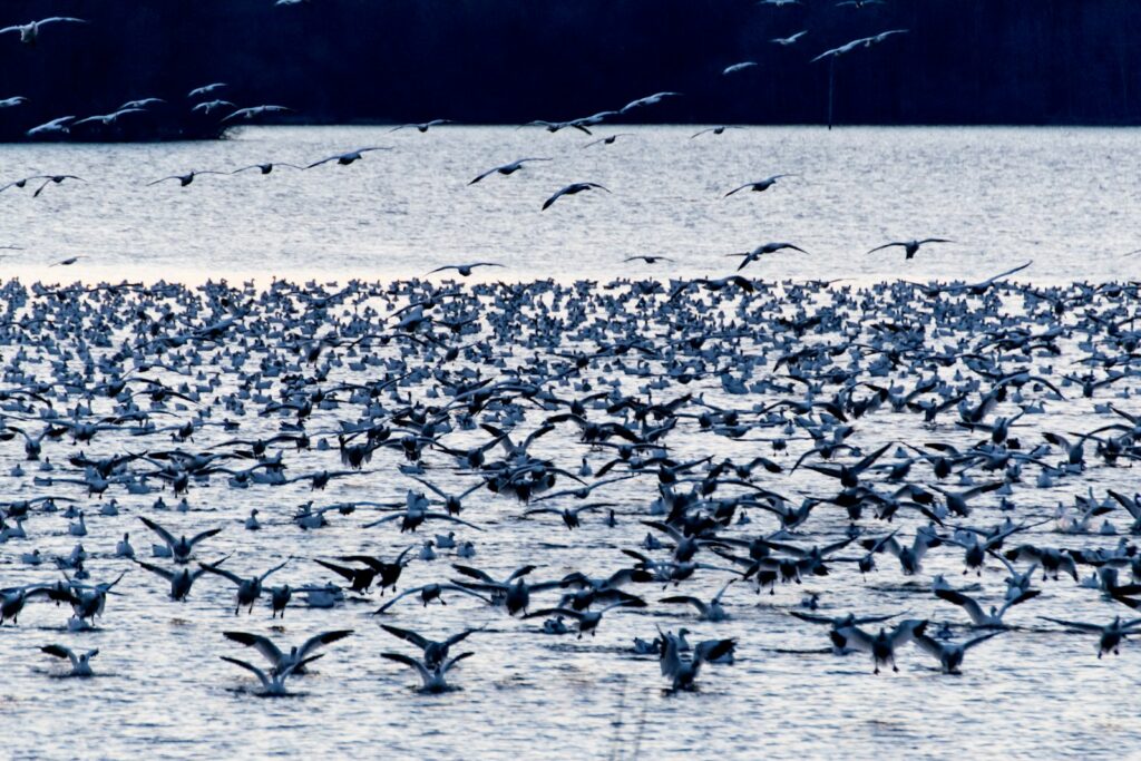
The natural world has always been defined by movement—herds migrating across vast plains, birds flying intercontinental routes, and fish navigating ocean currents. Yet as human development fragments habitats, these ancient pathways face unprecedented threats. In response, scientists around the globe have embarked on an ambitious mission: mapping the invisible highways that animals use to travel between habitats. These wildlife corridors serve as critical lifelines, allowing species to find food, mates, and adapt to changing conditions. By identifying, protecting, and restoring these pathways, researchers hope to preserve biodiversity in an increasingly fragmented world. The science of corridor mapping represents a fascinating intersection of cutting-edge technology and ecological understanding—a race against time to document and protect the natural movements that sustain wildlife populations worldwide.
The Growing Urgency of Wildlife Corridors

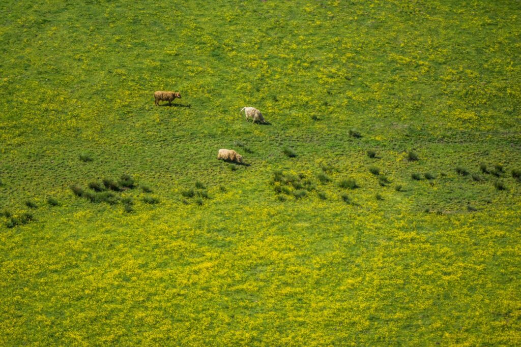
As human development continues to expand across landscapes, natural habitats are increasingly being carved into isolated fragments. This habitat fragmentation represents one of the greatest threats to biodiversity worldwide, essentially trapping animal populations in ecological islands where they face limited resources, decreased genetic diversity, and heightened vulnerability to environmental changes. The consequences are already evident—declining populations, local extinctions, and disrupted ecological processes that once maintained healthy ecosystems. Wildlife corridors offer a critical solution by reconnecting these fragments, allowing animals to move freely between habitat patches. Scientists estimate that without functional corridors, we could lose up to 50% of species in some fragmented ecosystems within decades, making the identification and protection of these pathways not just beneficial but essential for conservation success.
Traditional Tracking Methods: From Footprints to Radio Collars
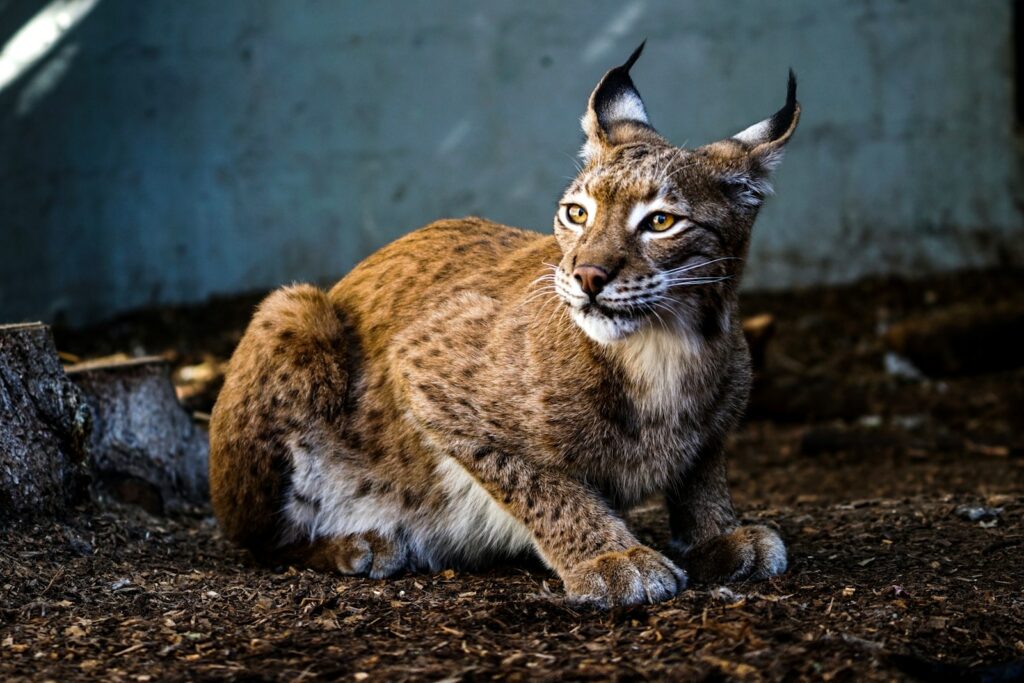
Before sophisticated technology entered the scene, wildlife biologists relied on traditional field methods to identify animal movements and potential corridors. Tracking footprints, scat analysis, and direct observations provided valuable but limited insights into how animals navigated landscapes. By the mid-20th century, radio telemetry revolutionized the field, allowing researchers to attach transmitters to animals and track their movements remotely. These early collars, though bulky by today’s standards, revealed for the first time the extensive ranges of many species and highlighted critical movement patterns. The data collected through traditional methods laid the groundwork for corridor science, establishing fundamental principles about how different species respond to landscape features. Even today, these approaches remain valuable, especially in regions where advanced technology is unavailable or impractical, and they continue to complement newer methods in comprehensive corridor studies.
GPS Technology: Revealing Hidden Pathways

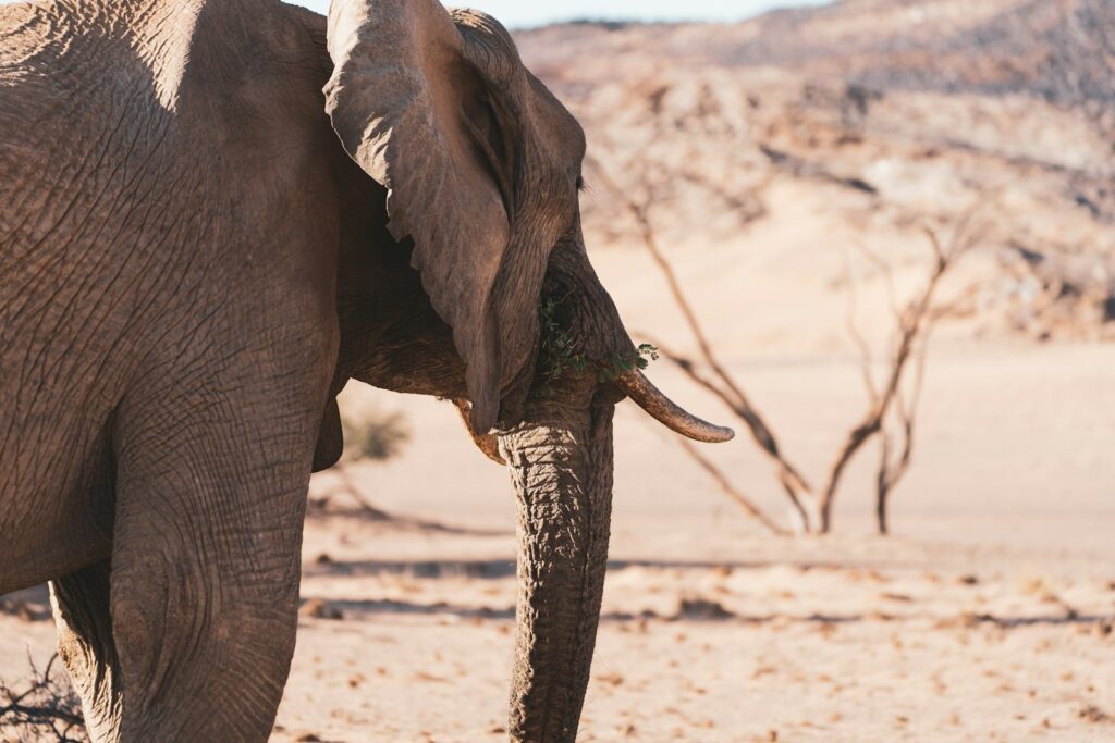
The advent of GPS collar technology in the 1990s transformed scientists’ ability to track animal movements with unprecedented precision. These sophisticated devices, which have become increasingly miniaturized and energy-efficient, can record an animal’s exact location at programmable intervals—from minutes to days—creating detailed movement profiles over months or even years. The resulting data reveals not just where animals go, but how they navigate challenging landscapes, which routes they prefer, and how they adapt their movements seasonally or in response to disturbances. In a groundbreaking study of African elephants, GPS tracking revealed previously unknown corridor networks spanning hundreds of kilometers, crossing multiple national boundaries and connecting protected areas that had been considered isolated. Similar studies with species ranging from jaguars in Central America to tigers in India have identified crucial corridors that would have remained invisible using only traditional observation methods, providing critical evidence for conservation planning.
Remote Sensing: The Bird’s Eye View
While tracking individual animals provides crucial data, understanding wildlife corridors also requires a comprehensive view of the landscape itself. Remote sensing technologies, including satellite imagery, aerial photography, and LiDAR (Light Detection and Ranging), enable scientists to analyze habitat characteristics across vast areas. These tools can identify vegetation types, measure forest canopy height, detect water bodies, and even distinguish subtle variations in habitat quality that influence animal movement decisions. By combining remote sensing data with animal tracking information, researchers can identify landscape features that either facilitate or impede movement—steep slopes that deer avoid, forest patches that provide cover for traveling predators, or riparian zones that serve as natural highways for multiple species. This integration of perspectives has proven particularly valuable in regions like the Northern Rockies, where conservationists used remote sensing to identify potential grizzly bear corridors between isolated populations, leading to targeted land protection efforts that have helped maintain genetic connectivity.
Camera Traps: Capturing Corridor Activity
In the effort to document wildlife movement through potential corridors, camera traps have emerged as an invaluable tool that combines affordability with remarkable effectiveness. These motion-activated cameras, which can be deployed across landscapes for months at a time, capture photographic evidence of animals using specific routes or crossing critical barriers like roads or agricultural areas. Unlike tracking technologies that focus on individual animals, camera traps can detect multiple species using the same corridor, revealing community-level patterns and interactions that might otherwise remain hidden. In a pioneering study in Costa Rica, researchers deployed over 200 camera traps across agricultural landscapes, documenting how jaguars, pumas, and other threatened species utilized narrow forest corridors to travel between larger protected areas. The resulting photographic evidence not only confirmed the functional importance of these pathways but provided compelling visual material to engage landowners and policymakers in conservation efforts, demonstrating the dual scientific and communication value of this technology.
Genetic Mapping: Tracing Population Connections
One of the most sophisticated approaches to corridor identification involves neither tracking individual animals nor observing their movements directly, but rather analyzing the genetic relationships between populations. By collecting DNA samples—often non-invasively through hair, scat, or feathers—scientists can determine the degree of genetic similarity between animal groups across a landscape. High genetic similarity suggests regular movement and breeding between populations, indicating functional corridors, while genetic divergence can reveal where movement has been restricted. This approach has proven particularly valuable for elusive species that are difficult to track directly, such as wolverines in the northern Rockies, where genetic analysis identified critical high-elevation corridors connecting isolated mountain ranges. Beyond identifying current corridors, genetic approaches can also reveal historical connections that have been recently severed, highlighting priority areas for restoration. The integration of genetic data with landscape features has given rise to the field of landscape genetics, providing a powerful framework for understanding how habitat configuration influences gene flow and population connectivity across generations.
Citizen Science: Crowdsourcing Corridor Data

The ambitious scale of wildlife corridor mapping has increasingly led scientists to engage the public as partners in data collection. Citizen science initiatives invite nature enthusiasts, hikers, local communities, and even tourists to report wildlife sightings, contributing to massive databases that help identify movement patterns across landscapes. Platforms like iNaturalist, eBird, and specialized corridor monitoring apps allow users to document animal observations with their smartphones, automatically recording location data and often capturing photographic evidence. The California Roadkill Observation System exemplifies how citizen reports can reveal wildlife movement patterns by documenting where animals attempt to cross roads—critical information for identifying needed crossing structures. Beyond simply gathering data, these initiatives foster public engagement with conservation issues and create emotional investment in corridor protection. In successful programs like the Path of the Pronghorn project in Wyoming, citizen scientists not only helped document migration routes but became powerful advocates for protecting these pathways from development threats.
Predictive Modeling: Forecasting Animal Movements
With data gathered from tracking, remote sensing, genetics, and field observations, scientists can develop sophisticated mathematical models that predict how animals move through landscapes and where critical corridors exist. These models incorporate numerous variables—habitat types, topography, human disturbance, food resources, and species-specific behaviors—to generate maps of “landscape connectivity” that highlight potential movement pathways. Circuit theory models, which analyze landscapes as if they were electrical circuits with varying resistance to wildlife movement, have proven particularly effective at identifying pinch points where animal traffic is likely to concentrate. Other approaches, like least-cost path analysis, identify the most energetically efficient routes between habitat patches. These predictive tools are especially valuable for planning purposes, allowing conservationists to identify potential corridors before they’re lost to development. In Washington State, connectivity models predicted key movement pathways for multiple species across the Cascade Range, guiding strategic land acquisitions that secured these corridors before escalating development prices made protection financially impossible.
Corridor Design: From Mapping to Implementation
Identifying corridors represents only the first step in a comprehensive conservation approach—translating maps into functional pathways requires careful design informed by species-specific needs. Corridor width, habitat composition, and management practices must all be tailored to the requirements of target species, whether wide-ranging carnivores that need substantial cover or pollinators that can navigate through specific vegetation types. Scientists are increasingly designing multi-species corridors that accommodate diverse movement needs, creating mosaic landscapes with varying habitat features. Physical structures also play crucial roles in corridor functionality, from wildlife overpasses spanning highways to fish ladders navigating dams. The Banff Wildlife Crossings in Canada exemplify successful corridor implementation, where extensive monitoring has documented over 200,000 animal crossings through purpose-built overpasses and underpasses, effectively reconnecting wildlife populations divided by the Trans-Canada Highway. These successful examples demonstrate that well-designed corridors based on sound scientific mapping can effectively mitigate fragmentation, even in heavily human-modified landscapes.
Climate Change and Shifting Corridors
As climate patterns shift globally, the science of corridor mapping faces an additional challenge: anticipating how wildlife movement needs will change in response to new environmental conditions. Many species are already shifting their ranges poleward or to higher elevations, requiring corridors that facilitate these climate-driven migrations. Scientists are now developing dynamic corridor models that incorporate climate projections, identifying pathways that will become increasingly important as habitats transform. These “climate corridors” often follow temperature and precipitation gradients, providing routes for species to track suitable conditions as they move across landscapes. Research in the eastern United States has identified critical north-south mountain corridors that allow species to shift their ranges in response to warming temperatures, while maintaining genetic connectivity. The uncertainty inherent in climate projections has also led scientists to emphasize robust corridor networks with multiple pathway options, creating redundancy that helps wildlife populations adapt to changing conditions regardless of exactly how climate shifts unfold.
Urban Wildlife Corridors: Connecting Fragmented Cityscapes

The science of corridor mapping extends beyond wilderness areas into the heart of human settlements, where researchers are identifying and enhancing pathways for wildlife movement through urban environments. Using a combination of camera traps, GPS tracking, and citizen observations, scientists have documented surprising levels of wildlife movement through city greenways, stream corridors, underpasses, and even well-vegetated residential neighborhoods. These urban corridors serve not only common adaptable species like raccoons and coyotes, but also more sensitive wildlife when properly designed. In Singapore, researchers mapped the movements of flying squirrels and colugos (gliding mammals) through the urban forest canopy, identifying critical tree connections that allow these species to persist in the city. The resulting “connectivity maps” guide urban forestry programs to maintain tree canopy connections. Similar efforts in cities worldwide are creating “wildlife highways” that maintain ecological functions within urban ecosystems, from seed dispersal to predator-prey relationships, demonstrating that even highly developed landscapes can support meaningful wildlife connectivity when guided by scientific corridor mapping.
International Corridor Initiatives: Crossing Borders
Wildlife movement rarely respects political boundaries, prompting scientists to develop transboundary approaches to corridor mapping and protection. These international initiatives face unique challenges, requiring coordination between different governance systems, research methodologies, and conservation priorities. The Yellowstone to Yukon Conservation Initiative (Y2Y) exemplifies this approach, working across the Canada-US border to map and protect corridor networks spanning over 2,000 miles of the Northern Rocky Mountains. Using harmonized data collection protocols and shared mapping platforms, scientists from both countries have identified critical movement pathways for species ranging from grizzly bears to wolverines. Similar transboundary corridor mapping efforts are underway in the Mesoamerican Biological Corridor, spanning seven Central American countries, and in the European Green Belt initiative along the former Iron Curtain. These projects demonstrate that effective corridor science requires not just technological sophistication but also innovative governance approaches that facilitate data sharing, collaborative research, and coordinated conservation actions across political divides.
The Future of Corridor Mapping: New Technologies and Approaches
The science of mapping animal corridors continues to evolve rapidly, with emerging technologies promising even greater insights into wildlife movement patterns. Environmental DNA (eDNA) sampling—which detects genetic material animals leave behind in soil, water, or air—is beginning to revolutionize corridor monitoring by identifying species presence without direct observation or capture. Meanwhile, advances in satellite technology are enabling near-real-time tracking of smaller species than ever before, while machine learning algorithms are enhancing our ability to process and interpret massive movement datasets. Acoustic monitoring networks that record wildlife vocalizations are revealing previously hidden movement patterns, particularly for bird and bat migrations. Perhaps most transformative is the integration of these diverse data sources through artificial intelligence systems that can identify corridor patterns invisible to human analysts. As these technologies mature, scientists anticipate developing dynamic, constantly updating corridor maps that respond to seasonal changes, development pressures, and climate shifts—creating a living atlas of animal movement that guides conservation in real-time and ensures the continued flow of wildlife across our changing planet.
The science of mapping animal corridors represents one of conservation’s most important frontiers—a field where cutting-edge technology meets urgent ecological need. As researchers continue refining their methods and expanding their focus across species and landscapes, the resulting corridor maps provide an essential blueprint for maintaining biodiversity in our fragmented world. These invisible highways, now increasingly visible through scientific innovation, remind us that conservation success depends not just on protecting isolated natural areas but on maintaining the connections between them. By revealing how animals navigate our shared planet, corridor science offers both practical guidance for land management and a profound reminder of nature’s interconnectedness—a perspective that may ultimately guide us toward more harmonious coexistence with the wildlife that surrounds us.