
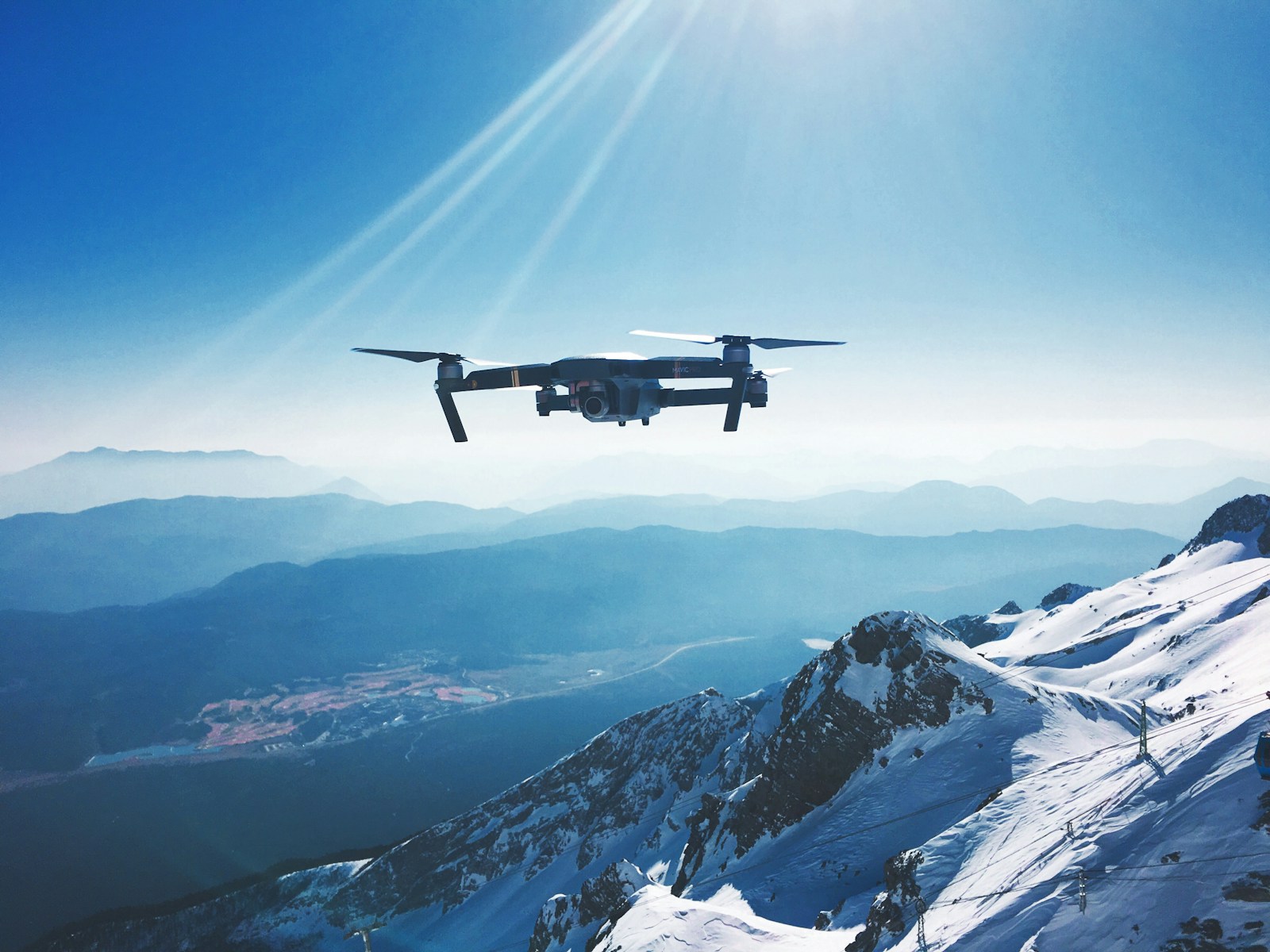
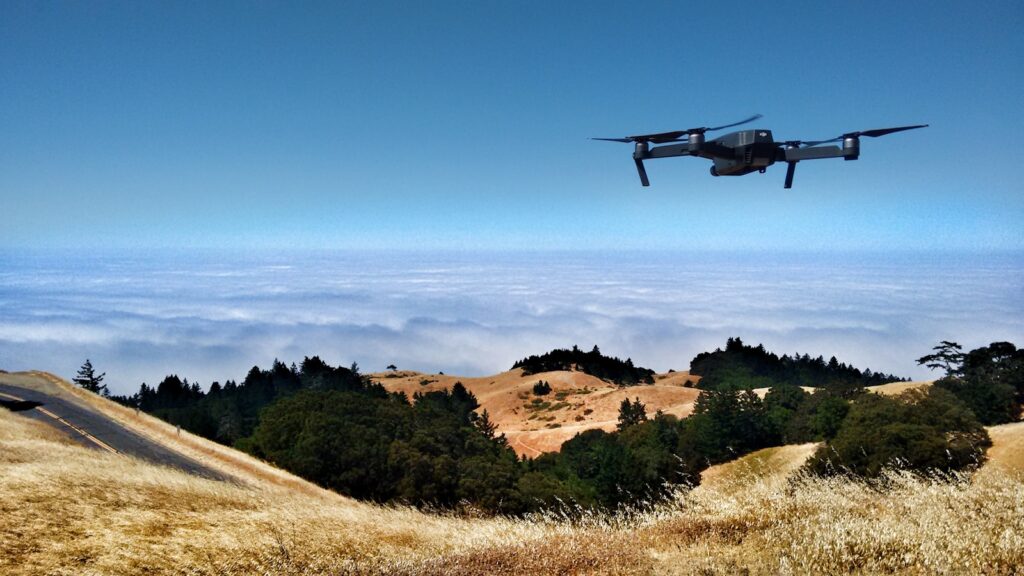
In an era where biodiversity faces unprecedented threats, scientists have turned to innovative technologies to better understand and protect wildlife. Among these technologies, unmanned aerial vehicles—commonly known as drones—have emerged as revolutionary tools for wildlife population monitoring. These aerial platforms provide researchers with a bird’s-eye view of ecosystems, allowing them to collect data in ways previously unimaginable. From tracking endangered species in remote areas to counting large herds across vast landscapes, drone technology is transforming conservation science in protected areas worldwide. This article explores how researchers deploy these flying robots to conduct wildlife surveys, revealing the methods, benefits, challenges, and future directions of drone-based wildlife monitoring in our parks and reserves.
The Evolution of Wildlife Monitoring Methods

Wildlife population monitoring has undergone significant transformation over the decades, evolving from simple ground-based observations to sophisticated technological approaches. Traditionally, scientists relied heavily on direct field observations, camera traps, radio collaring, and manned aircraft surveys—methods that often proved labor-intensive, expensive, or potentially disruptive to animal behavior. These conventional techniques, while valuable, frequently presented limitations in accessing remote or dangerous terrain and capturing comprehensive data across large areas efficiently. The introduction of satellite imagery offered broader coverage but lacked the resolution needed for detailed wildlife studies. This historical progression set the stage for drones to fill a crucial methodological gap, providing the perfect balance of accessibility, detail, and minimal disturbance that modern conservation science demands. The adoption of drone technology represents the latest chapter in scientists’ ongoing quest to develop more efficient, accurate, and less invasive wildlife monitoring techniques.
Drone Technology Fundamentals for Wildlife Research
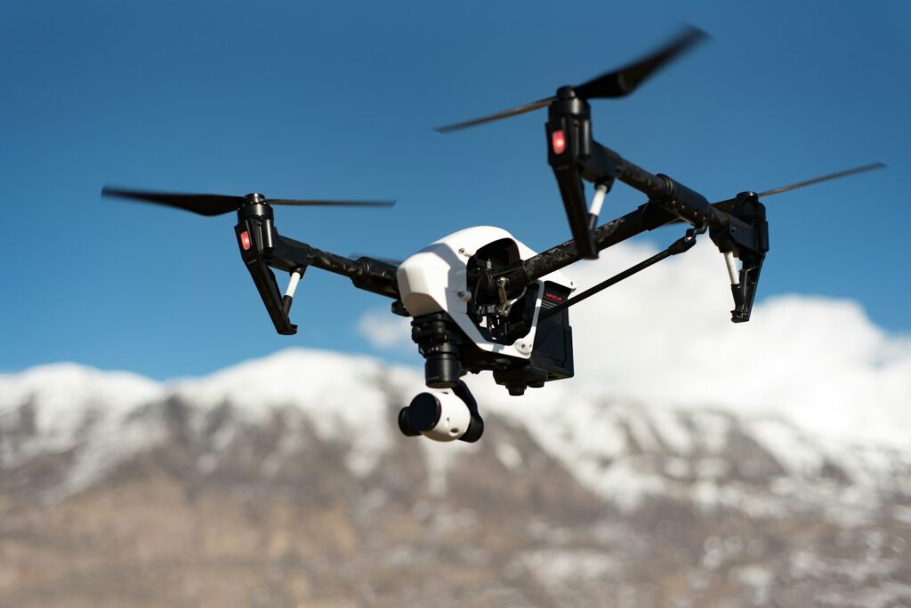
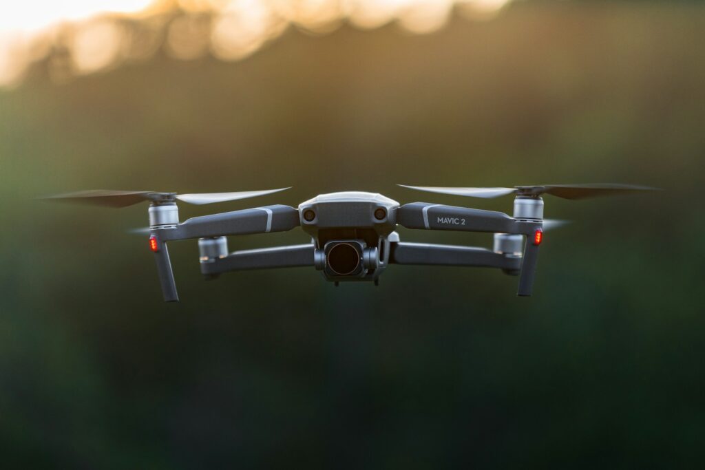
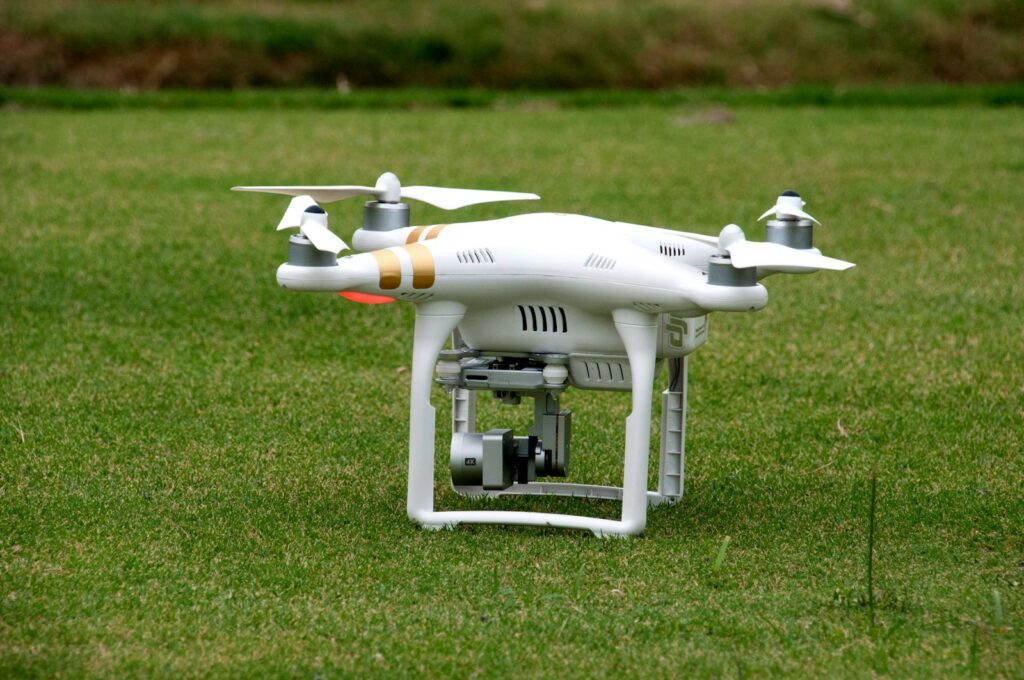
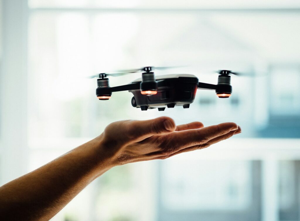
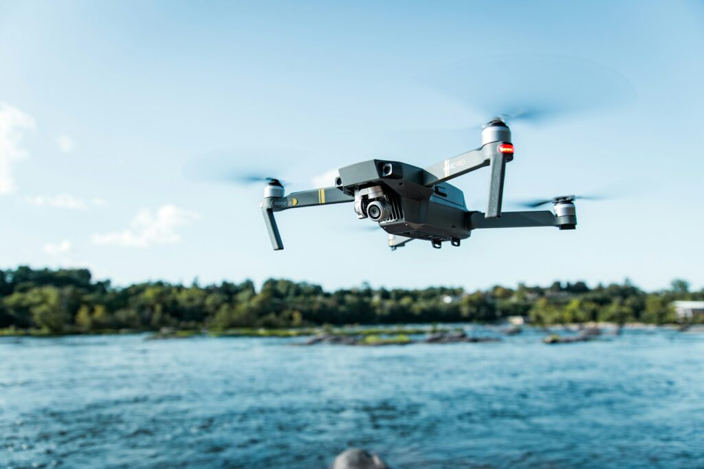
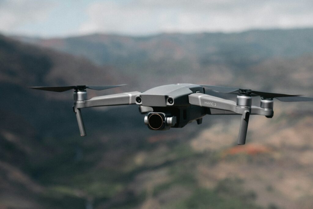
Scientists employ various types of drones for wildlife monitoring, each with specific capabilities suited to different research contexts. Fixed-wing drones, resembling small airplanes, excel at covering large areas efficiently and can stay airborne for extended periods, making them ideal for surveys across vast national parks or reserves. Multirotor drones, with their vertical takeoff and landing capabilities, offer superior maneuverability and hovering abilities, allowing researchers to capture detailed observations of specific animals or habitats in challenging terrain. Most research drones carry payloads including high-resolution RGB cameras, thermal imaging sensors for detecting animals’ heat signatures, and occasionally specialized equipment like acoustic monitors or environmental sensors. The technological specifications crucial for wildlife monitoring include flight endurance (typically ranging from 20 minutes to several hours), weather resistance, camera resolution (often 20+ megapixels), and autonomous flight capabilities that allow pre-programmed survey routes. This technological foundation provides researchers with reliable platforms capable of gathering consistent, high-quality data while minimizing disturbance to wildlife populations.
Aerial Survey Methodologies and Protocols
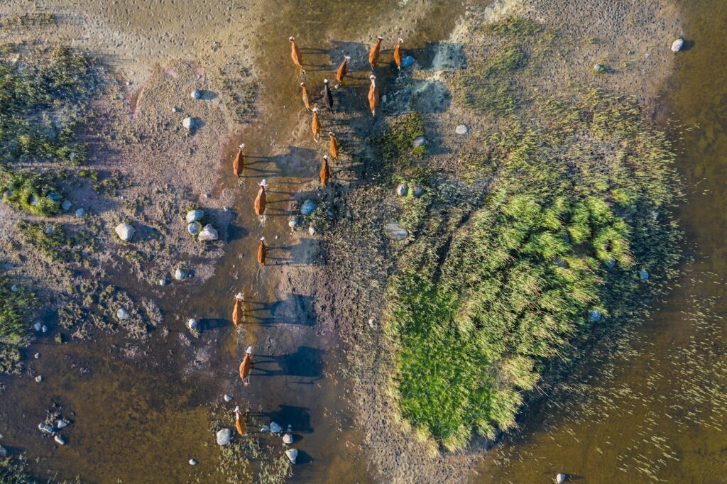
Wildlife scientists have developed sophisticated methodologies for drone-based population surveys that ensure scientific rigor and reproducibility. These protocols typically begin with careful flight planning, where researchers map survey transects—predetermined flight paths designed to systematically cover the study area while avoiding overlap or gaps in coverage. Flight parameters such as altitude, speed, and timing are meticulously calibrated based on the target species, habitat type, and research objectives. For larger animals in open habitats, flights might operate at 100-120 meters altitude, while studies of smaller species or dense vegetation might require lower altitudes of 40-60 meters. Sampling designs vary from simple grid patterns to more complex adaptive sampling approaches that intensify effort in areas where initial flights detect higher animal densities. Researchers also establish strict protocols for data collection consistency, including standardized times of day (often early morning when animals are active but temperatures remain cool), weather conditions (avoiding high winds or precipitation), and seasonal considerations that account for animal behavior patterns and vegetation changes. These methodological frameworks help transform drone flights from simple aerial photography into structured scientific sampling that produces statistically valid population estimates.
Image Analysis and Population Counting Techniques
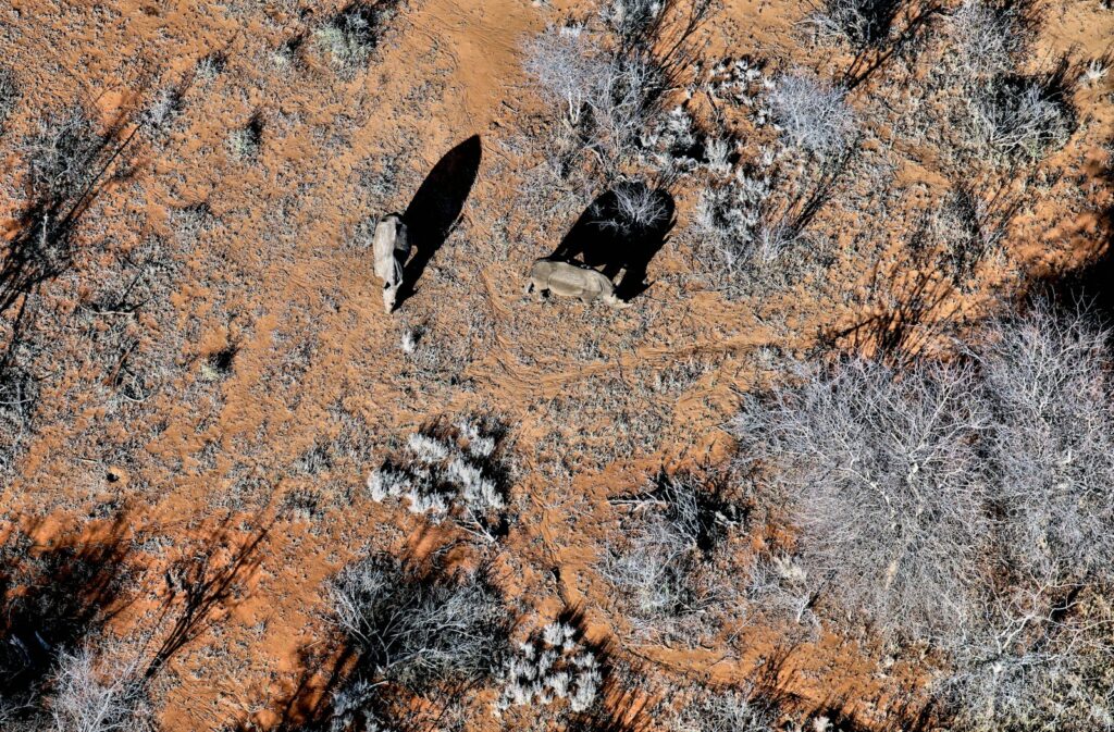
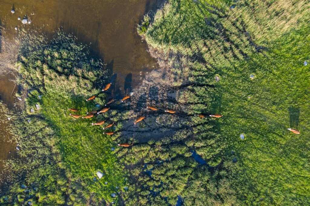
Once drone imagery is collected, researchers employ a range of analytical techniques to identify and count animals within the vast datasets generated. Traditional manual counting methods involve trained observers meticulously examining each image to identify and mark individual animals—a process that provides high accuracy but proves extremely time-consuming for large surveys. Increasingly, scientists leverage artificial intelligence and machine learning algorithms to automate this process, with convolutional neural networks (CNNs) trained to recognize specific species from aerial perspectives. These AI systems can process thousands of images in hours rather than the weeks required for manual analysis, though they typically require extensive training datasets of verified animal identifications. Some advanced approaches combine thermal and visual imagery, using heat signatures to detect animals initially, then confirming species identification through visual characteristics. Regardless of the counting method employed, researchers apply statistical corrections for detection probability—accounting for animals that might be missed due to vegetation cover, body position, or other factors—to transform raw counts into scientifically rigorous population estimates. These analytical frameworks represent a critical link between the technology of data collection and the conservation insights ultimately derived.
Advantages Over Traditional Monitoring Methods

Drone-based wildlife monitoring offers numerous advantages over conventional approaches, revolutionizing how scientists collect population data. Perhaps most significantly, drones dramatically reduce disturbance to wildlife compared to ground surveys or low-flying aircraft, allowing researchers to observe natural behaviors without influencing them through human presence. The efficiency gains are equally impressive, with drones capable of surveying hundreds of hectares in a single day—work that might take weeks using ground-based methods and at a fraction of the cost of manned aircraft operations. This cost-effectiveness extends beyond the initial equipment investment, as drones can be deployed repeatedly without the ongoing expenses of helicopter fuel or extensive field team salaries. Safety considerations represent another major advantage, eliminating risks to researchers who would otherwise need to access dangerous terrain or approach potentially dangerous animals. Perhaps most importantly for scientific purposes, drones provide unprecedented standardization of data collection, with programmable flight paths ensuring consistent coverage, altitude, and timing across repeated surveys—critical for detecting true population changes rather than methodological artifacts. These combined benefits explain why wildlife agencies and research institutions increasingly view drones as essential tools rather than merely optional technologies.
Species-Specific Applications and Success Stories
Drone technology has proven remarkably versatile across diverse wildlife monitoring contexts, with notable success stories spanning multiple species and ecosystems. In African savanna environments, researchers have revolutionized elephant population monitoring, using drones to accurately count herds across vast landscapes while minimizing the stress conventional aerial surveys can cause these sensitive animals. Marine mammal researchers deploy drones to monitor whale populations along coastlines, capturing detailed imagery that allows identification of individuals through unique markings and assessment of physical condition without the disturbance boat approaches can create. The technology has proven particularly valuable for monitoring nesting bird colonies, with thermal drones capable of conducting night surveys of seabird nests on remote islands where ground access would cause significant disruption. In North American parks, wildlife agencies use drones to track recovering wolf populations, mapping pack territories and monitoring reproductive success through regular surveys of den sites from safe distances. Even for elusive species like snow leopards, drones equipped with sophisticated cameras help researchers identify territories and movement patterns in mountainous terrain that would be nearly impossible to survey comprehensively by other means. These diverse applications demonstrate how drone methodology can be adapted to the specific behavioral and ecological characteristics of different target species.
Minimizing Wildlife Disturbance and Ethical Considerations
Responsible drone use for wildlife monitoring requires careful attention to minimizing potential disturbance, with researchers developing evidence-based protocols to ensure ethical operations. Studies examining animal responses to drones have revealed that flight altitude significantly influences disturbance, with most species showing minimal reaction when drones operate above species-specific threshold heights—typically 80-120 meters for many mammals and 100+ meters for most birds, though sensitive species may require greater distances. Approach angle also matters substantially, with gradual, indirect approaches causing less disturbance than direct overhead flights or rapid movements. Researchers typically avoid sensitive periods in animals’ life cycles, such as breeding seasons or times of nutritional stress, when drone disturbance could have more significant consequences. Drone noise presents another consideration, with scientists increasingly using quieter models or operating at altitudes where propeller sound becomes negligible. Many wildlife agencies and research institutions have developed formal ethical guidelines specifically for drone operations, requiring minimum approach distances, pilot training requirements, and consideration of whether alternative, less invasive methods might suffice for specific research questions. These ethical frameworks reflect recognition that even as drones reduce many impacts associated with traditional monitoring, they introduce new considerations requiring careful scientific evaluation and adaptive management.
Regulatory Frameworks and Permissions
Operating drones for wildlife monitoring requires navigating complex regulatory landscapes that vary significantly across jurisdictions. In the United States, drone researchers must comply with Federal Aviation Administration regulations, including obtaining Remote Pilot Certification, registering drones, maintaining visual line of sight during operations, and avoiding restricted airspace—requirements echoed in many countries worldwide with varying specific provisions. Beyond aviation rules, wildlife monitoring in parks typically requires additional permits from managing agencies such as the National Park Service, U.S. Fish and Wildlife Service, or state wildlife departments, which evaluate proposed flight operations for potential impacts on wildlife and visitor experiences. These permits often stipulate specific conditions including flight windows, altitude restrictions, and prohibited areas near sensitive wildlife locations or high visitor use zones. International researchers face additional challenges when working across borders, as drone regulations remain inconsistent globally, with some nations implementing straightforward permitting processes while others effectively prohibit drone research through restrictive policies or prohibitive fees. Conservation scientists have begun advocating for regulatory harmonization and special provisions for research drones, arguing that current frameworks—designed primarily for recreational and commercial applications—often create unnecessary barriers to beneficial scientific applications without providing proportional conservation benefits.
Combining Drones with Other Technologies
The most innovative wildlife monitoring programs integrate drone technology within broader technological ecosystems that amplify their capabilities and applications. Many researchers pair drone surveys with ground-based camera trap networks, using the aerial perspective to identify wildlife hotspots for targeted camera placement while using the 24/7 monitoring capabilities of cameras to complement the periodic drone surveys. Radio telemetry systems work synergistically with drones, with tagged animals helping researchers identify key areas for drone monitoring, while drones help locate tagged individuals that have moved beyond ground receiver range. Satellite imagery provides landscape-scale context for the detailed drone data, allowing researchers to connect animal distribution patterns to broader habitat characteristics and changes. Some cutting-edge programs incorporate environmental DNA (eDNA) sampling alongside drone surveys, using water or soil samples to detect species presence through genetic material, then deploying drones to locate and count the animals directly. Advanced projects even mount miniaturized receivers on drones themselves, creating mobile tracking stations that can locate dozens of radio-tagged animals during a single flight. These integrated technological approaches reflect an emerging understanding that while drones excel at certain monitoring tasks, their greatest scientific value comes through combination with complementary methods that address their limitations while building on their strengths.
Data Management and Conservation Applications

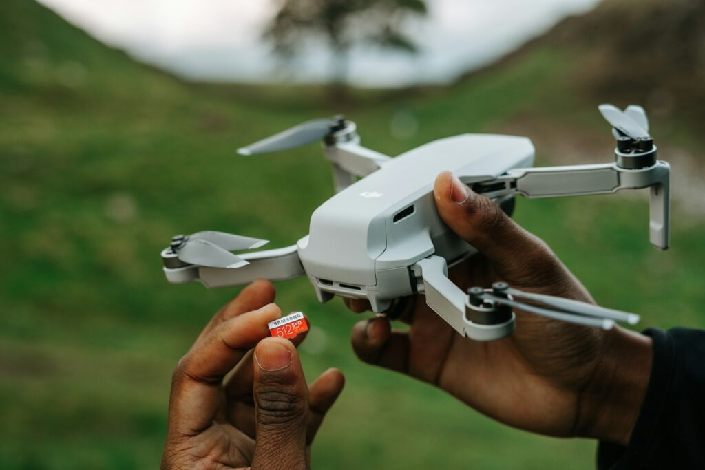
The immense volumes of data generated through drone monitoring programs require sophisticated management systems to translate raw imagery into actionable conservation insights. Wildlife researchers increasingly utilize specialized data pipelines that move imagery from drone memory cards through processing software that georeferences each image, applies enhancement algorithms to improve visibility, and integrates with AI detection systems for preliminary species identification. These processed datasets typically enter spatial database systems where they can be analyzed alongside habitat maps, human activity patterns, and historical survey data to identify trends and relationships. The resulting information directly informs numerous conservation applications, from basic population monitoring that tracks whether management goals are being achieved to early detection of potential threats like disease outbreaks or poaching activities. Park managers use drone-derived population distribution maps to guide ranger patrols, visitor management decisions, and habitat restoration efforts. When animals move beyond park boundaries, the data helps identify critical corridor areas that might require protection to maintain connectivity. Perhaps most importantly, the consistent, quantitative nature of drone monitoring creates accountability in conservation programs, allowing managers to objectively demonstrate whether interventions are achieving desired outcomes or require adjustment—a crucial capability when working with limited conservation resources and increasing threats.
Challenges and Limitations
Despite their remarkable capabilities, drones face significant challenges and limitations as wildlife monitoring tools that researchers must navigate carefully. Technical constraints remain substantial, with battery life typically limiting flight times to 20-40 minutes for multirotor systems, creating logistical challenges for monitoring extensive areas. Environmental conditions frequently restrict operations, as most consumer and prosumer drones cannot operate in rain, high winds, or extreme temperatures—conditions common in many important wildlife habitats. Detection limitations present persistent scientific challenges, as vegetation cover can obscure animals, particularly in forest environments where canopy cover may render traditional drone surveys ineffective despite various algorithmic corrections researchers apply. Processing bottlenecks continue to challenge researchers, with the massive imagery datasets often overwhelming analytical capabilities, creating delays between data collection and the generation of actionable insights. Social acceptance issues occasionally arise when park visitors object to drone presence as inconsistent with natural experiences, requiring careful communication about research benefits and operational protocols designed to minimize disturbance to both wildlife and humans. Perhaps most fundamentally, expertise barriers limit adoption, as effective drone wildlife monitoring requires specialized skills spanning aviation, wildlife biology, geospatial analysis, and artificial intelligence—a multidisciplinary combination rarely found in traditional conservation training programs but increasingly essential as these technologies become standard research tools.
Future Directions and Emerging Technologies
The frontier of drone wildlife monitoring continues advancing rapidly, with several emerging technologies poised to address current limitations and expand capabilities. Hydrogen fuel cell and solar-powered drones promise to extend flight times from minutes to hours or even days, enabling continuous monitoring of wildlife movements and behaviors previously impossible to observe. Miniaturization trends are producing increasingly sophisticated micro-drones weighing under 250 grams that can operate in confined spaces like forest understories while minimizing wildlife disturbance and regulatory burdens. Sensor technology advances include hyperspectral imaging capable of distinguishing subtle habitat differences invisible to standard cameras, and enhanced thermal systems that can detect animals through moderate vegetation cover. On the software side, real-time AI processing is beginning to move from laboratories to field implementations, allowing drones to identify animals during flight rather than after landing, potentially enabling adaptive survey patterns that focus effort where animals are detected. Automated drone networks represent perhaps the most transformative emerging approach, with permanently deployed systems conducting regular, pre-programmed surveys before returning to charging stations—creating continuous monitoring capabilities that could revolutionize our understanding of wildlife population dynamics and responses to both threats and conservation interventions. These technological horizons suggest drone wildlife monitoring remains in its relative infancy, with capabilities likely to expand dramatically in coming years.
Training and Capacity Building for Wildlife Professionals
The rapid adoption of drone technology for wildlife monitoring has created urgent needs for specialized training programs that prepare conservation professionals to effectively deploy these systems. Forward-thinking universities have begun integrating drone operations, image analysis, and data management into wildlife biology and conservation degree programs, recognizing these skills as increasingly essential for graduates entering the field. Professional certification programs specifically designed for conservation applications have emerged, combining general drone piloting skills with specialized training in wildlife survey protocols, minimizing animal disturbance, and ethical considerations unique to research applications. International capacity building has become a particular focus, with several conservation NGOs developing programs that transfer drone monitoring capabilities to protected area staff in biodiversity-rich regions where monitoring resources have traditionally been limited. These training initiatives typically employ a train-the-trainer model, developing local experts who can then disseminate skills throughout regional conservation networks. Technical documentation has evolved from generic drone manuals to wildlife-specific operating handbooks that codify best practices for different ecosystems and species groups. As the technology continues advancing, continuing education programs have become essential even for experienced practitioners, ensuring wildlife professionals remain current with rapidly evolving capabilities, analytical approaches, and regulatory requirements that characterize this dynamic field.
Conclusion: The Transformed Future of Wildlife Monitoring
Drone technology has fundamentally transformed wildlife monitoring in parks and protected areas, providing unprecedented capabilities to observe, count, and study animal populations with minimal disturbance. This aerial revolution gives conservation scientists access to data previously unobtainable, from accurate counts of vast, remote wildlife aggregations to detailed observations of behavior patterns without human influence. As technical limitations continue to fall and analytical capabilities expand, drones will likely become as fundamental to wildlife research as binoculars and cameras have been historically. The most significant impact may be democratizing high-quality monitoring, making sophisticated population assessments feasible even for protected areas with limited resources. However, realizing the full potential of this technology requires thoughtful application—balancing innovation with ethical considerations, investing in proper training, and integrating drone data within comprehensive conservation programs rather than viewing the technology as a standalone solution. When properly implemented with these considerations in mind, drone monitoring creates a virtuous cycle where better data leads to more effective conservation interventions, ultimately contributing to the fundamental goal that drives wildlife monitoring: ensuring healthy, sustainable animal populations in our increasingly pressured natural spaces.