
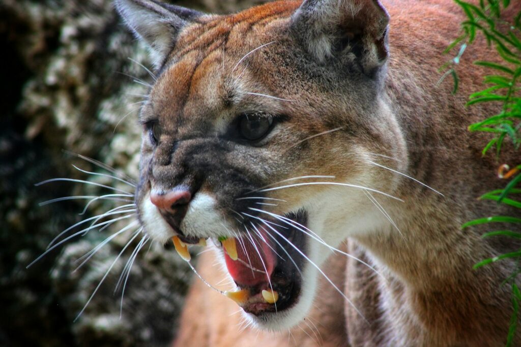
In the rugged wilderness of the western United States, a remarkable story of survival, instinct, and adaptation has unfolded through the eyes of wildlife biologists tracking a single mountain lion. This isn’t just any tracking project—it’s an unprecedented documentation of one of the longest journeys ever recorded for this elusive predator. A male mountain lion, equipped with a GPS collar, embarked on an extraordinary 500-mile trek across diverse landscapes, providing scientists with invaluable data about these mysterious cats. His journey has illuminated crucial aspects of mountain lion behavior, habitat usage, and the challenges these animals face in increasingly fragmented ecosystems. Through cutting-edge technology and dedicated research, biologists have gained insights that are reshaping our understanding of these magnificent creatures and informing conservation efforts across North America.
The Mountain Lion’s Identity and Initial Tagging
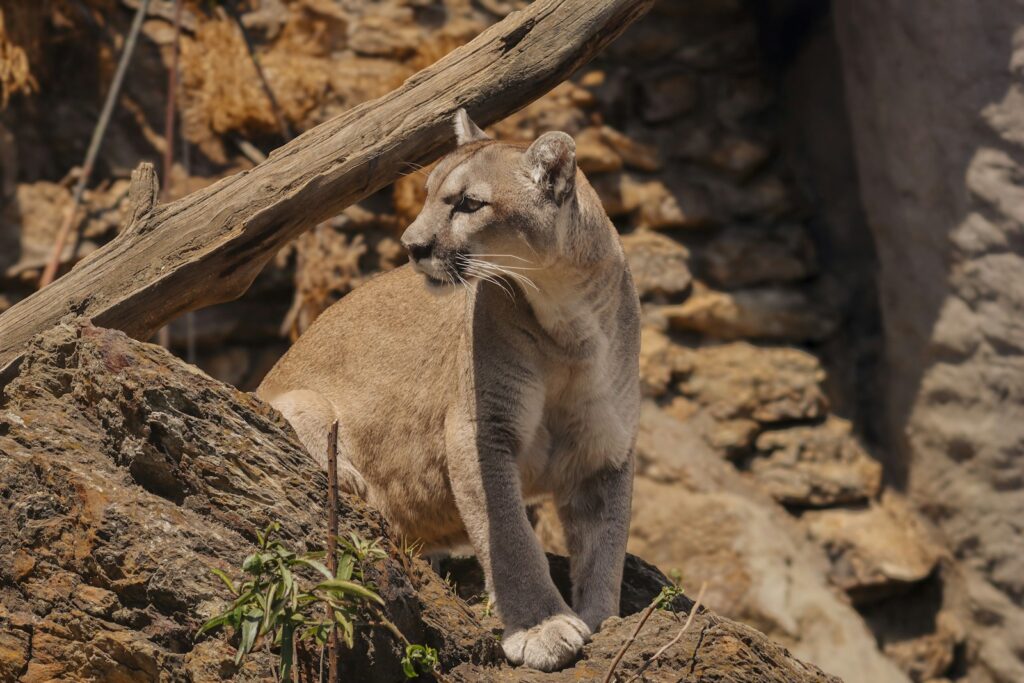
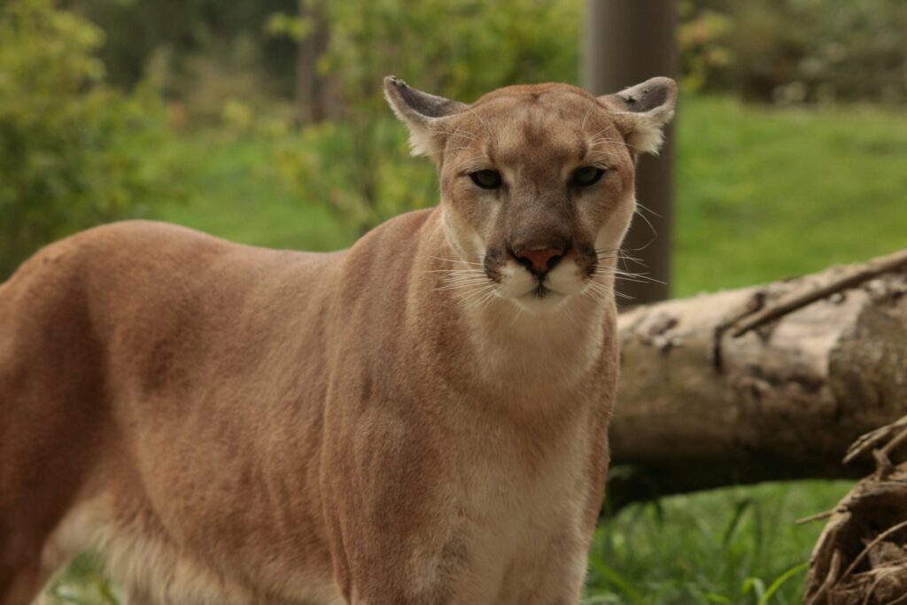
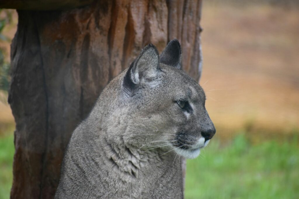
The protagonist of this remarkable journey was a young male mountain lion, approximately three years old when first encountered by wildlife biologists. Researchers assigned him the designation M57, following standard scientific naming conventions that help track individuals within study populations. The initial capture and tagging occurred in the spring of 2018 in the foothills of Colorado’s Front Range, where biologists carefully tranquilized the healthy 120-pound cat. During this brief encounter, the team collected blood samples, measurements, and fitted him with a sophisticated GPS collar designed to transmit location data at regular intervals. This particular collar represented the latest in wildlife tracking technology, featuring extended battery life, lightweight design, and the ability to store data even when out of transmission range. Little did the researchers know that M57 would soon provide them with one of the most comprehensive datasets ever collected on mountain lion movement patterns.
The Impetus for Long-Distance Travel
The biological drivers behind M57’s extraordinary journey align with well-documented patterns of dispersal in young male mountain lions. Upon reaching sexual maturity, male cougars typically leave their birth territories to establish their own ranges away from competition with older, dominant males and to avoid inbreeding with related females. However, the scale of M57’s journey exceeded typical dispersal distances by a significant margin, raising important questions about landscape connectivity and habitat quality. Scientists believe that increased human development and fragmentation of natural areas may be forcing mountain lions to travel farther than historically necessary to find suitable territory. Additionally, researchers noted that M57’s departure coincided with the establishment of another dominant male’s territory nearby, suggesting that direct competition may have been the immediate trigger for his remarkable trek. The timing of his journey—beginning in late spring—also aligned with peak dispersal season when young males typically seek new territories.
The Route: From Mountains to Deserts
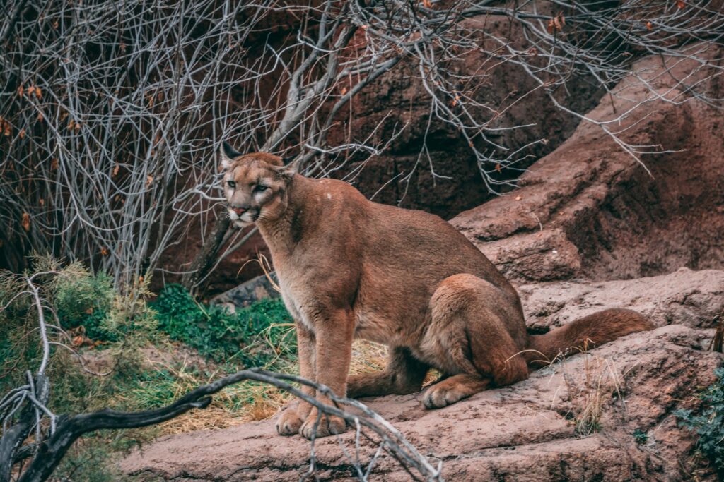
M57’s GPS collar documented a journey of astonishing diversity across multiple ecosystems and terrain types. Beginning in Colorado’s montane forests, the mountain lion navigated westward through high-elevation spruce-fir forests before descending into sagebrush steppe ecosystems. His path then took him across portions of the arid Great Basin, where he traversed desert landscapes with minimal cover and scarce water sources. Remarkably, M57 crossed four major highways, including Interstate 70, a significant barrier that many wildlife species struggle to navigate safely. The collar data revealed that river corridors and undeveloped canyons served as critical pathways during his journey, suggesting the importance of these natural features as wildlife movement corridors. Perhaps most impressively, the cat navigated across parts of northern Utah and into the border regions of Nevada, covering territories that spanned three states and elevations ranging from 4,000 to over 10,000 feet above sea level.
Unprecedented Data Collection Methods
The tracking of M57 represented a significant advancement in wildlife monitoring technology. His collar utilized a combination of GPS positioning and satellite transmission systems that recorded locations as frequently as every four hours, providing unprecedented detail about movement patterns, rest sites, and hunting behaviors. Unlike earlier wildlife tracking efforts that relied on radio telemetry requiring researchers to physically follow signals in the field, this remote system stored and transmitted data automatically to research facilities. Complementing the GPS tracking, researchers employed camera traps strategically placed throughout portions of the study area, occasionally capturing visual confirmation of M57’s presence and physical condition. Additionally, field teams conducted periodic investigations of clusters of GPS points where the lion lingered, revealing kill sites and offering insights into prey selection across different habitats. This multi-faceted approach produced over 3,000 individual location points during the journey, creating one of the most detailed movement maps ever compiled for a wild mountain lion.
Hunting Behaviors Across Diverse Habitats
The GPS data from M57’s collar revealed fascinating adaptations in hunting strategies as he moved through different ecosystems. In forested mountain habitats where the journey began, location clusters suggested ambush hunting of deer and elk, with the lion remaining near kill sites for 3-5 days to feed. As he entered more open country, researchers observed a shift toward smaller prey items including pronghorn, jackrabbits, and occasionally domestic sheep, with shorter feeding periods and more frequent hunting attempts. One of the most surprising discoveries came from examining kill sites in desert regions, where M57 successfully adapted to hunting desert bighorn sheep—a specialized prey requiring different stalking techniques than those used for deer. Field investigations of kill sites also revealed that the mountain lion became increasingly efficient at maximizing nutrition from each kill as his journey progressed, consuming more of each carcass and revisiting remains more frequently than typically observed in resident lions. This adaptive hunting behavior demonstrated remarkable plasticity and likely contributed to his survival during this extraordinary journey.
Movement Patterns and Travel Strategies
Analysis of M57’s movement data revealed sophisticated travel strategies that maximized his chances of successful dispersal. The mountain lion primarily traveled during dawn and dusk hours, with approximately 70% of significant movements occurring during these crepuscular periods when detection by humans was least likely. GPS data showed that he averaged 8.5 miles per day during active travel phases, though this varied considerably depending on terrain and habitat. Researchers noted that M57 would often make rapid progress for several consecutive nights, covering up to 15 miles per night, followed by periods of 3-5 days when he remained within a small area, likely hunting and recovering energy. The data revealed a clear preference for rugged terrain offering cover, with the lion often detouring miles out of his way to avoid open areas lacking hiding places. Perhaps most intriguing was his tendency to utilize natural features like ridgelines and river corridors as travel routes, suggesting an innate understanding of landscape features that provide both efficient movement and security from potential threats.
Human Infrastructure Challenges
M57’s journey provided unprecedented documentation of how mountain lions navigate human-dominated landscapes. The GPS data revealed 23 instances where the lion encountered major roads, with his behavior changing markedly near these barriers. Typically, M57 would approach highways during periods of lowest traffic volume—between 1:00 and 4:00 AM—and often spent several days surveying crossing points before attempting passage. His successful crossings almost exclusively occurred at locations with natural features like culverts, bridges over waterways, or vegetated medians that provided some cover. The tracking data revealed seven occasions where M57 approached highways but retreated without crossing, suggesting heightened caution around these dangerous barriers. Beyond roads, the lion displayed remarkable ability to navigate through the fringes of suburban areas, in one case passing within a half-mile of a housing development without being detected by residents. Researchers noted that M57 typically increased his travel speed and became strictly nocturnal when near human settlements, behaviors that likely contributed to his successful passage through developed areas.
Interactions with Other Wildlife
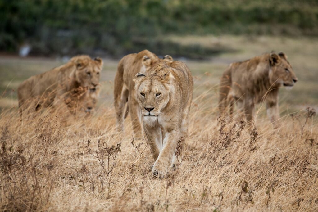
The GPS collar provided fascinating glimpses into M57’s interactions with other wildlife species throughout his journey. On three documented occasions, the mountain lion’s movements suggested encounters with established territorial males, characterized by rapid directional changes and temporary retreats from areas he had been exploring. Wildlife cameras in one study area captured images of M57 investigating but ultimately avoiding areas recently marked by a resident male lion, demonstrating how scent marking effectively communicates territorial boundaries. Perhaps most interesting were the lion’s interactions with other predator species, including a 48-hour period where his movements suggested he was trailing a wolf pack in western Colorado, potentially scavenging from their kills. Field investigations also documented instances where M57 displaced coyotes from their kills, and one remarkable case where he appeared to have killed a bobcat, though whether this was territorial behavior or predation for food remains unclear. These interspecies interactions highlight the complex ecological relationships that shape predator movements across the landscape.
Physical Adaptations and Condition Changes

Remote camera images and the occasional visual confirmation by field researchers provided valuable information about M57’s physical condition throughout his journey. When initially captured for tagging, the mountain lion weighed 120 pounds and was assessed to be in excellent health with good muscle tone and a thick coat. Images captured approximately 200 miles into his journey showed some weight loss, estimated at 10-15%, a normal finding for dispersing males who must balance hunting with traveling. By the journey’s midpoint, field researchers noted his increased leanness but also observed that his hunting efficiency had improved considerably compared to earlier in the dispersal. Perhaps most remarkable was the adaptation of his paw pads, which appeared to become visibly tougher and more calloused in later camera images, an adaptation to the rocky terrain he traversed. Scientists were particularly impressed by M57’s physical resilience, as he maintained adequate condition despite crossing harsh desert landscapes where prey was scarce and covering distances that would challenge even the most fit mountain lions.
Finding a New Territory
After nearly eight months and 500 miles of traveling, M57’s movement patterns changed dramatically, signaling the end of his dispersal phase. GPS data showed that his daily movements contracted from linear travel to a more circular pattern concentrated within an area of approximately 250 square miles in the remote mountains of northeastern Nevada. Researchers identified several factors that likely made this area suitable as a permanent territory, including abundant deer populations, minimal competition from other male mountain lions, and minimal human development. Field investigations confirmed that M57 had begun establishing territorial markings, creating scrapes and leaving scat at prominent landscape features, behaviors typical of a resident rather than dispersing lion. Perhaps most significantly, camera traps in the region captured images of a female mountain lion within M57’s new range, suggesting the potential for successful breeding—the ultimate biological purpose of his extraordinary journey. The successful establishment of a new territory marked the completion of one of the longest documented mountain lion dispersals ever recorded.
Conservation Implications and Corridor Protection
M57’s journey has provided conservationists with an invaluable road map of functional wildlife corridors across the western landscape. By analyzing the specific routes the mountain lion used to navigate between habitat blocks, researchers identified previously unknown linkage areas that likely serve as critical pathways for numerous wildlife species. The data highlighted seven key pinch points where development or road construction could potentially sever these essential wildlife corridors, prompting conservation organizations to prioritize these areas for protection. In a direct policy outcome, transportation departments in two states initiated plans for wildlife crossing structures at highway segments where M57 and potentially other animals have demonstrated crossing activities. Additionally, the journey highlighted the importance of working lands like ranches and managed forests that, while not formally protected, provide essential connectivity between wilderness areas. Conservation groups have used M57’s story as compelling evidence when advocating for landscape-scale conservation planning that considers not just habitat patches but the critical connections between them.
Future Research Directions Inspired by This Journey
The wealth of data generated from M57’s remarkable journey has opened numerous avenues for future scientific inquiry. Researchers have initiated a comprehensive genetic sampling project along the route, collecting DNA from scat and hair samples to better understand population connectivity and gene flow between mountain lion populations that were previously thought to be relatively isolated. The success of the high-resolution GPS tracking has inspired the deployment of similar technology on female mountain lions, whose dispersal patterns are less understood but equally important for population dynamics. Wildlife managers have also launched a multi-state collaborative effort to identify and protect other potential dispersal corridors before they become compromised by development. Perhaps most significantly, M57’s journey has prompted a shift in how conservation biologists conceptualize habitat needs for large carnivores, emphasizing connectivity at scales far larger than previously considered in management plans. The findings have reinforced the need for coordinated conservation efforts that transcend jurisdictional boundaries and address landscape permeability at regional scales.
Public Education and Engagement Outcomes
Beyond its scientific value, M57’s journey captured public imagination and created unprecedented opportunities for wildlife education. Researchers developed an interactive online mapping tool that allowed the public to follow the mountain lion’s progress (with appropriate time delays to protect the animal), generating over 200,000 unique visitors and substantial media coverage. This public engagement platform became an effective vehicle for educating communities about mountain lion behavior, dispelling myths, and building support for conservation initiatives. Several schools incorporated the tracking project into their science curricula, using real-time data to teach concepts of wildlife biology, habitat connectivity, and conservation challenges. Perhaps most importantly, the compelling narrative of one animal’s extraordinary journey helped transform public perception of mountain lions in some communities from fear-based to one of respect and fascination. Wildlife agencies reported increased public support for mountain lion conservation measures following the publicity surrounding this research project, demonstrating how following one individual animal’s story can influence broader conservation attitudes.
M57’s epic 500-mile journey has forever changed our understanding of mountain lion ecology and the landscape-scale connectivity these animals require. Through his remarkable trek across mountains, deserts, highways, and multiple ecosystems, this single lion has illuminated the complex challenges facing large carnivores in an increasingly fragmented world. The unprecedented dataset collected from his GPS collar has provided wildlife managers with concrete evidence for protecting critical wildlife corridors and improving infrastructure design to accommodate animal movement. Beyond the scientific findings, M57’s story has captured public imagination and fostered greater appreciation for these often misunderstood predators. As development continues to alter western landscapes, the lessons learned from this mountain lion’s journey will inform conservation planning for decades to come, ensuring that future generations of mountain lions can follow in his footsteps across connected wild landscapes.